 Historic Marker
Survey · August 22, 2020
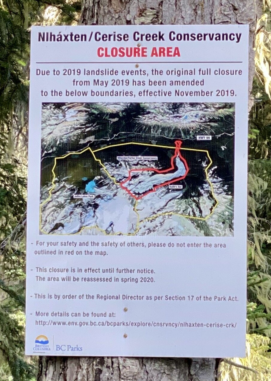
Closure Area Sign
As documented August 22, 2020.
- Survey date
- August 22, 2020
- Condition
- Good
- Condition notes
- Sign in good condition, posted on tree.
Inscription
Niháxten/Cerise Creek Conservancy CLOSURE AREA Due to 2019 landslide events, the original full closure from May 2019 has been amended to the below boundaries, effective November 2019. HWY 99 - For your safety and the safety of others, please do not enter the area outlined in red on the map. - This closure is in effect until further notice. The area will be reassessed in spring 2020. - This is by order of the Regional Director as per Section 17 of the Park Act. More details can be found at: http://www.env.gov.bc.ca/bcparks/explore/cnsrvncy/nlhaxten-cerise-crk/ BRITISH COLUMBIA BC Parks
Machine-transcribed from photo · not yet human-verified · may be incomplete